RadiZcan
Advance radiation monitoring: real-time tracking of gamma radiation spectra and dose rate values, as well as identification of radioisotope compositions
Simple and fully automated heliborne or UAV-based technologies advance radiation monitoring. This includes enhancing CBRN reconnaissance, environmental mapping, nuclear power plant emergency responses, and improving long-term monitoring of contaminated areas. They enable real-time tracking of gamma radiation spectra and dose rate values, as well as identification of radioisotope compositions. Geographical data and areal imaging of radiation survey maps and radioactive objects are also integrated.
The RadiZcan system includes a gamma spectrometer, detectors, mapping software, and a pod, comprising everything needed to start radiation mapping and monitoring in an area.
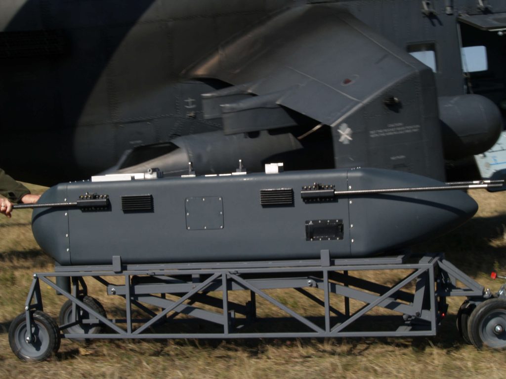
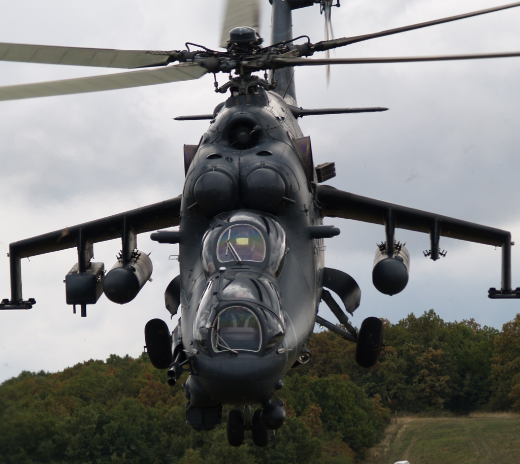
RadiZcan-POD
Heliborne radiation reconnaissance pod
The RadiZcan-POD is a heliborne radiation detection system capable of:
- Detecting point radioactive sources.
- Real-time location, areal imaging, and mapping of large areas of field contamination.
- It considers flight altitude and atmospheric conditions to determine the radiation level of specific areas.
- Identifying radioactive isotopes to estimate the composition of radioactive contamination through energy-selective measurements.
Specifications:
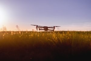
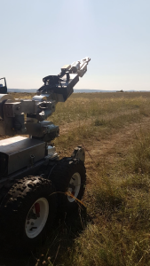
RadiZcan-MOB
Lightweight radiation payload
The RadiZcan-MOB sensor is an ultra-lightweight radiation detector designed for seamless integration on UAVs, robotic platforms and unmanned ground vehicles. It is ideal for a wide range of applications requiring precise radiation detection, accurate measurement and reliable nuclide identification, ensuring exceptional performance in the most challenging environments.
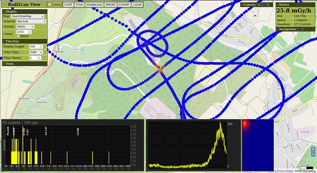
RadiZcan-SW
Gamma spectroscopy and mapping software
RadiZcan-SW is a powerful spectroscopy software platform to interpret the signals and identify the isotopes. It is specifically designed to work with RadiZcan detectors but is also can be used with multiple radiation detectors. It displays data from fixed and mobile radiation detection systems.
Multi-screen graphical user interface and architecture consisting of mapping, data analysis and spectroscopy modules on a common platform. This user-friendly and easy-to-use interface fits a wide range of users even with minimal experience.
Features
- Real-time view of all sensors.
- Real mapping data on the (online or offline) map selected by the user.
- Spectral acquisition from multiple detectors and displaying gamma radiation spectrum data.
- Simple, non-encrypted flat-file database to store data, and access via standard file transfer protocols (SMB, SFTP) for easy integration to other systems.
- Output ATP45 (CBRN4 RAD), custom json, and CSV formats.
- Board and ground-projected dose rate calculation.
- Plugin for UAV.
- Plugin for ground vehicles.

Plugin for UAV
Seamlessly connects the RadiZcan-SW to autopilots and transmits altitude, GPS and flight path data live, creating real-time, georeferenced dose heat maps. It can also automatically take spectral snapshots at waypoints and overlay the results on the mission map, enabling immediate in-flight decision-making.
Plugin for ground vehicles
It integrates with UGV/UGC platforms to create high-resolution radiation maps in real time.
The dashboard widget provides the driver with real-time dose rate alerts and feedback on mission progress while recording all sensor and vehicle telemetry data for post-mission analysis.
RadiZcan system applications
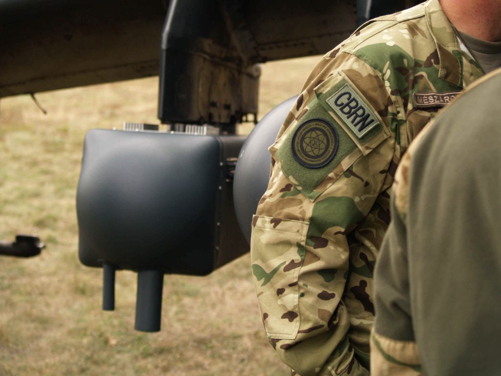
The main beneficiaries of the RadiZcan system include police, CBRN experts, relief workers, disaster managers, crisis managers, researchers, and nuclear workers. The system can be utilized in the following situations:
- Rapid emergency response monitoring of radiation events, providing real-time data on the spread, source, and intensity.
- Aerial monitoring of nuclear installations and radiation hazards.
- Detection of ground contamination where different radiation levels can be identified and mapped.
- Determination of the extent of contaminated areas and their different zones (R1, R2, R3), by plotting these areas on a map.
- Detection of point sources, including determination of dose rates that significantly differ from background radiation.
- Identification of radioactive isotopes using energy-selective measurements, which aid in determining isotopes in the field and assessing radiation levels for later analysis.
Contact Us for Technical Specifications, Pricing, and General Inquiries
Please complete the form below to request detailed technical specifications, pricing information, or any general inquiries about the RadiZcan product.
Partners